This is Part 2 of the 2023 Simpson Desert series — Part 1 covered the run from Farina through the Oodnadatta Track, the Maree Man, Anna Creek siding and Bloods Creek to Purni Bore. Parts 4 and 5 are where the crossing gets complicated.
If you're planning a Simpson Desert crossing of your own, the Simpson Desert guide is the place to start, and the Simpson Desert Travel Guide is the resource to have with you on the road.
Part 4 — French Line, Poeppel Corner, and a Change of Route
The Zoleo disconnects started here. The Zoleo and Garmin InReach Mini 2 had been running side-by-side since Farina for direct comparison — by Part 4, the Zoleo connectivity issues were consistent enough to start shaping a clear verdict.
The French Line is one of the main east-west tracks through the Simpson — harder going than the QAA Line, more remote, and for most of the group this was the first time on it. Poeppel Corner — where Queensland, South Australia and the Northern Territory meet — was a good marker to reach.
The original plan coming out the eastern side was to exit via Birdsville. That plan changed when we got word that flooding had the Birdsville route blocked. The decision was to run the Hay River track south-to-north instead. Not what anyone had planned, but the desert doesn't negotiate.
Fuel was a concern for Dave's Y62 Patrol running the Hay River route. The Y62 drinks at a rate the Hay River's distances make uncomfortable if you haven't planned for it. Working out the numbers and deciding whether to push on or pull back was a genuine consideration.
The Lazer Liner Elite 36 got a proper test out here. Real conditions, real distances, real darkness. The verdict is in the video — and if you've been following the channel you'll know my position on Lazer lights by this point.
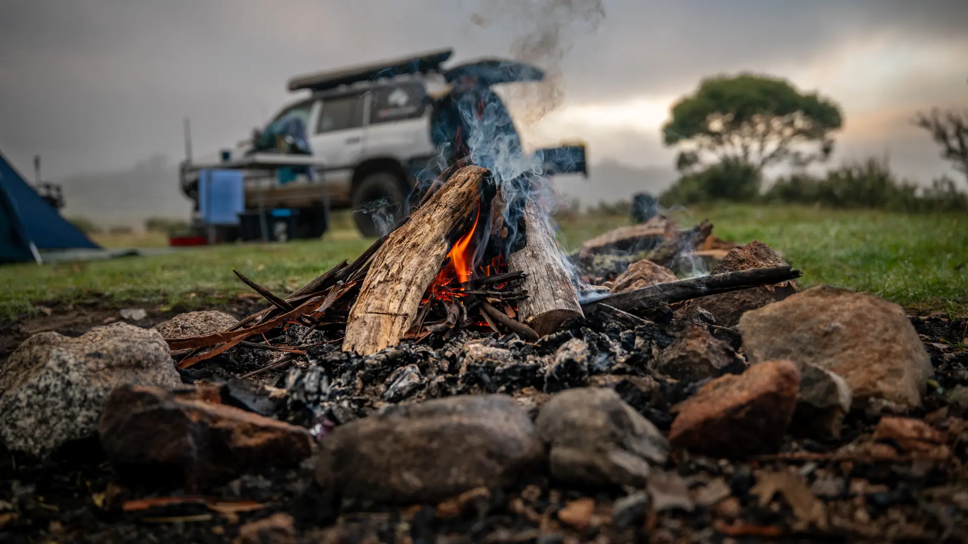
Gidgee Grove made for one of the better camps of the crossing. The gidgee wood burns extraordinarily hot and long — you barely need anything on the fire.
Navigation — Memory Map
I run Memory Map For All with the HEMA 4WD map pack on every remote trip. In country with no phone signal and tracks that shift after each flood, offline topo detail — station tracks, bore locations, water points — is not optional. Full breakdown in the navigation app review.
Part 5 — A Series of Unfortunate Mechanical Events
Stephen's car wouldn't start. Glow plugs. That kind of fault in the Simpson is a problem — it was eventually sorted, but it cost time and created genuine concern about whether the vehicle would finish the crossing.
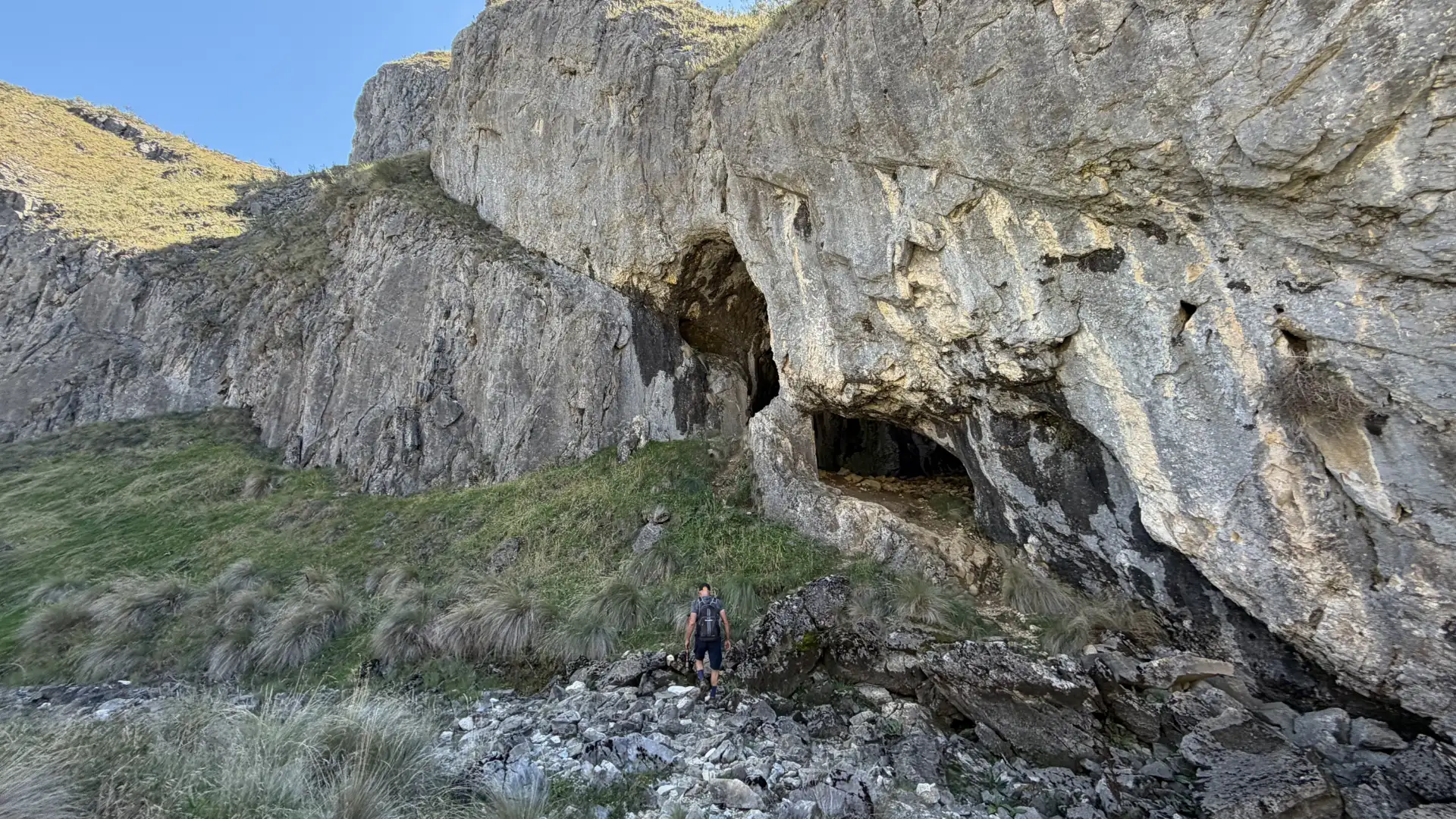
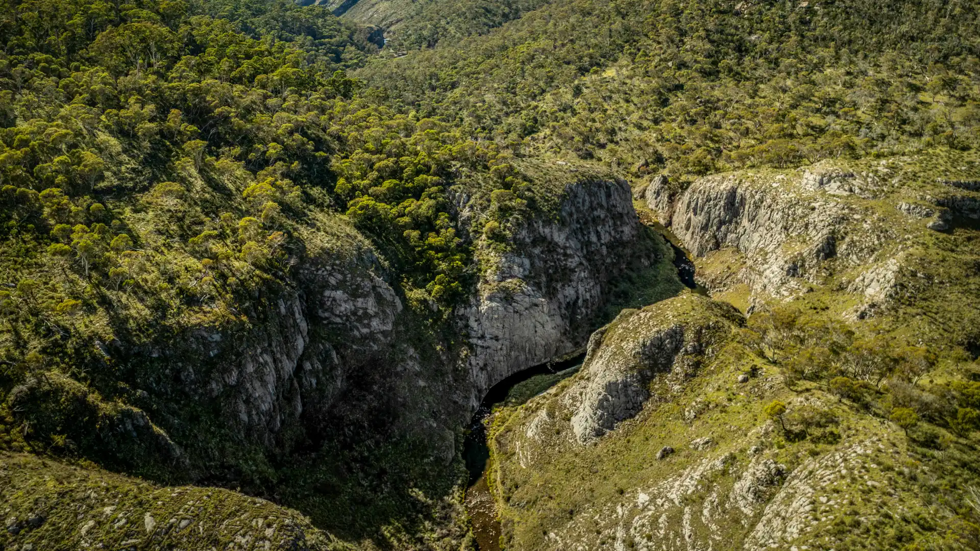
The Hay River track, for all the logistical headache it caused, turned out to be the prettiest section of the entire crossing. It's worth knowing that going in, because it earns its reputation. There's also an indigenous midden site in this section — a significant find, handled with appropriate respect.
Then the sway bar U-bracket snapped. Chop's vehicle was making noises that needed attention. A call to Jervois Station was made on the Thuraya sat phone — just getting information on what was ahead, whether a vehicle could be met if things got worse. This is exactly the situation that satellite communication is built for. Whether it's the Zoleo, the Garmin InReach Mini 2, or a dedicated sat phone — you need it in the Simpson. (Note: Thuraya no longer operates in Australia; a Garmin InReach or Zoleo covers two-way messaging, and a sat phone through another provider is the option for voice calls.)
Then Stephen's fuel tank cracked. On the Hay River. With limited options. The fix was Araldite — applied to a cracked fuel tank in the middle of the desert and hoped for the best. It held.
Then the punctures. Two in the same day — one on my vehicle, one on Dave's. Multiple punctures in a single desert crossing is not unusual. What you can't do is run out of spares, and we hadn't. Fixed, aired back up, kept moving.
Tobermory Station came as a genuine oasis — the kind of stop that exists at exactly the right point in a crossing that had thrown everything at the group. After Tobermory, the grey nomad traffic on the road into Bedourie picked up noticeably. There is a certain type of grey nomad who treats the outback bitumen like their private domain. I have opinions. They are in the video.
Bedourie: the end of the crossing.
The full five-part series is on YouTube. The Simpson Desert Travel Guide has everything you need for planning your own crossing — 260 pages covering the desert in proper detail. All Simpson Desert trip reports are on the guide page.